Rainforest to Rockies: Along the Trans-Canada Highway
7-10 Days / 778 km (483 mi)
A quintessential Canadian journey from Vancouver on the Pacific Coast to the Canadian Rockies along the scenic Trans-Canada Highway 1.
Rainforest to Rockies follows a road less travelled that connects the forest-fringed city of Vancouver to the rugged mountain town of Fernie. The scenic drive crosses plunging canyons, arid desert, and wine country before reaching the jagged peaks of the Canadian Rockies. Venture down this gem of a route to connect with Indigenous cultures, sample farm-to-table cuisine, and get a glimpse of fascinating BC history—all set against an incredible naturescape that changes with every turn.
Part 1
Start your journey in Vancouver, where natural landscapes blend seamlessly with urban temptations on Canada’s west coast. No stranger to the world stage (and Hollywood films), Vancouver is energized by festivals, eclectic eateries, and visually arresting murals. This culture-rich city of contrasts, backed by the Pacific Ocean and the Coast Mountains, promises love at first sight—and first bite. Hike through old-growth forests, indulge in a MICHELIN-starred meal, and bike and sail—all in one day.
Modern-day Vancouver, located on the shared territories of the xʷməθkʷəy̓əm (Musqueam Indian Band), Sḵwx̱wú7mesh Úxwumixw (Squamish Nation), and səlilwətaɬ (Tsleil-Waututh Nation), is a mosaic of many diverse cultures. Connect at a deeper level through walking tours, galleries, and storytelling centres throughout the city. The Museum of Anthropology at UBC hosts a collection of 50,000 objects that showcase art and culture from BC and around the globe. (Note: The MOA is temporarily closed and is expected to re-open in June of 2024.)
In the heart of the city lies Stanley Park, a tranquil greenspace with the oldest Douglas fir trees in British Columbia. This top-tier city park offers bike trails, oceanside strolls, Indigenous-led walking tours, and more.
Watch the city shrink in your rear-view mirror as you journey inland along the Trans-Canada Highway (Highway 1), where the Fraser Valley rolls out the green carpet. Accentuated by patchwork fields and peek-a-boo views of the mighty Fraser River, you’ll find an abundance of farms, artisans, and wineries sprinkled across this agricultural heartland.
Part 2
Abbotsford is a turning point on the journey east, where the cityscape fades and farms, fields, and forests reign. Stay a while to enjoy a self-guided farm tour and sip berry wine and local brews with pastoral views. Neighbouring Chilliwack is a launchpad for learning about the culture, history, and stories of the Stó:lō Nation, whose territory extends from Langley to Yale.
Adventure calls as you continue east toward the Harrison River Valley. (Tip: Watch for 60-m Bridal Veil Falls, visible from the highway. For more insider tips along your Crowsnest Highway 3 to the Canadian Rockies journey, sign up for our Rainforest to Rockies Email Guide.)
) Nestled at the confluence of two rivers and Harrison Lake, the area is best known for healing hot springs, prehistoric sturgeon, and legends of the mysterious Sasquatch, known as sa:sq’ets by the Sts’ailes People. While you’re here, visit the local cheese farm and browse for souvenirs while sipping locally roasted coffee.
Wind your way back to Highway 1, where Hope beckons with fresh-baked pie to fuel you along more than 100 marked hiking trails. Wedged between the Coast and Cascade mountain ranges, this town is the gateway to the rushing Fraser Canyon and the historic Gold Rush Trail. While you’re here, admire signature chainsaw carvings and explore scenic trails.
Part 3
From Hope, head southeast along Crowsnest Highway 3, filled with BC gems, storybook towns, and natural wonders. The best road trips include delightful surprises, and here they can be found around every corner. Watch for opportunities to pan for gold, sip Chardonnay on a sun-drenched patio, and much more.
About 45 minutes from Hope, E.C. Manning Park is a year-round destination for hikers, campers, Nordic skiers, and dark-sky photographers. Beyond the park, the Similkameen Valley is a true gem, where Cascade peaks tower over lush green forest.
Carved by the Similkameen River, this fertile valley with its bounty of farms and orchards is known as the Organic Farming Capital of Canada. Here, you can satisfy your thirst for adventure, fine wine, and fine food. Nearly 20 vineyards are sprinkled between Cawston and Keremeos, which also happens to be the Fruit Stand Capital of Canada.
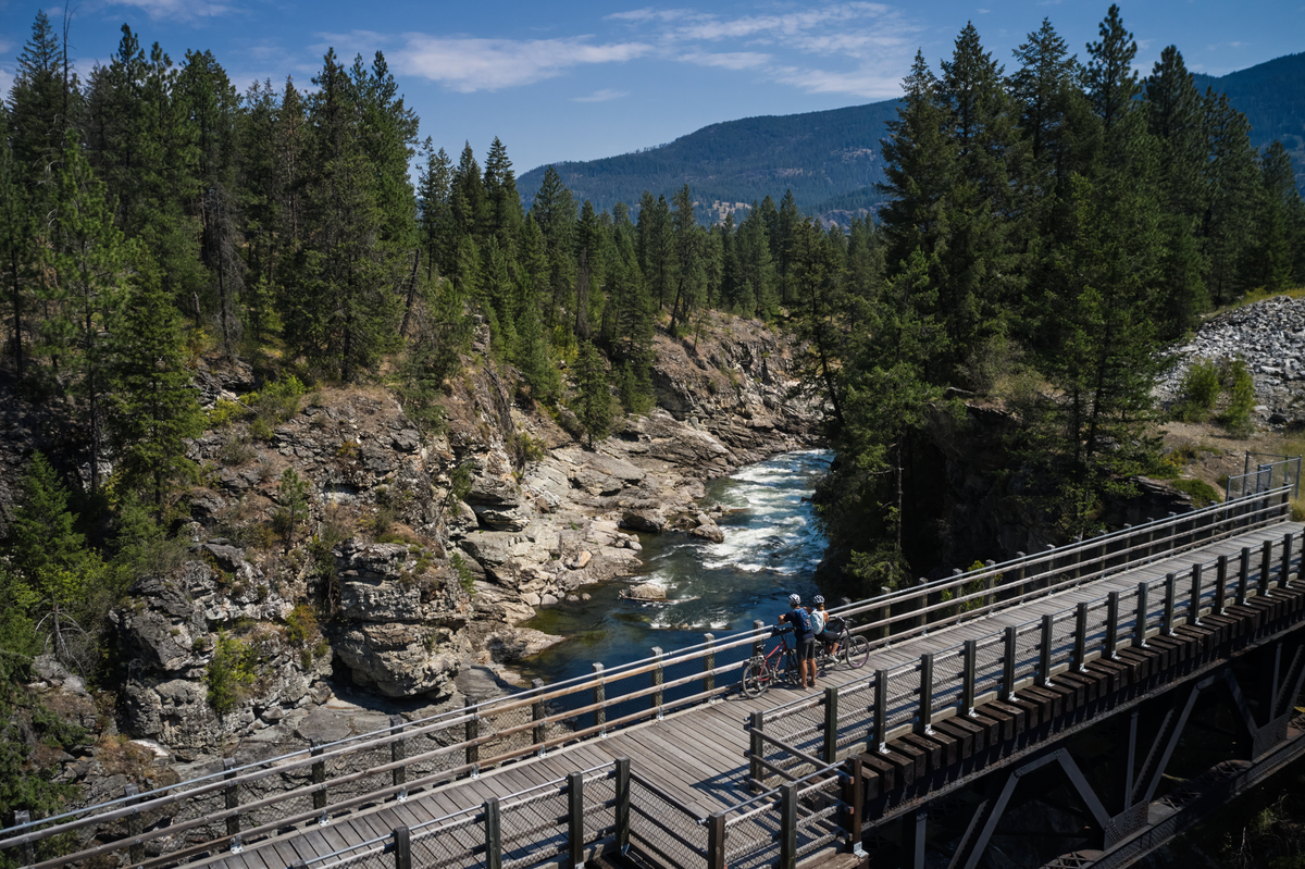
The Kettle Valley Rail Trail, a network of hiking and biking trails created from disused railway lines, stretches from the Kootenays to the Cascades and is part of the famous Trans Canada Trail. Roll or stroll along pathways overlooking canyons, mountain passes, and rushing rivers.
As you venture toward Osoyoos, ochre-coloured bluffs, glittering lakes, and lush vineyards dot the landscape.
Part 4
Osoyoos is home to a semi-arid desert, a unique ecosystem in Canada that is highlighted at the Desert Centre. Farther east, venture off the highway and into some of the small communities of Boundary Country that highlight the struggles, stories, and unique histories of Indigenous Peoples and diverse settlers.
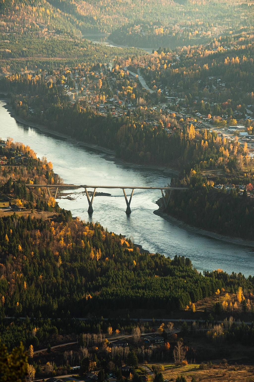
As this spectacular ribbon of highway gradually gains elevation, the desert becomes ranchlands and rivers en route to Christina Lake and beyond. Climb toward the Selkirk Mountains and the scenic town of Castlegar at the confluence of the Columbia and Kootenay rivers.
Part 5
You are now deep into the Selkirk and Purcell mountain ranges en route to the Rockies, an area for vast wilderness parks and a natural mineral hot springs network. Take a detour within a detour along Highway 3A to the quintessentially Kootenays town of Nelson. Nestled on the shores of Kootenay Lake and surrounded by mountains, this historic town boasts more than 350 designated heritage buildings and is buzzing with artistic energy and indie shops. Nelson is serious about three things: Outdoor adventure, food, and great coffee. Which makes this an essential stop at any time of year.
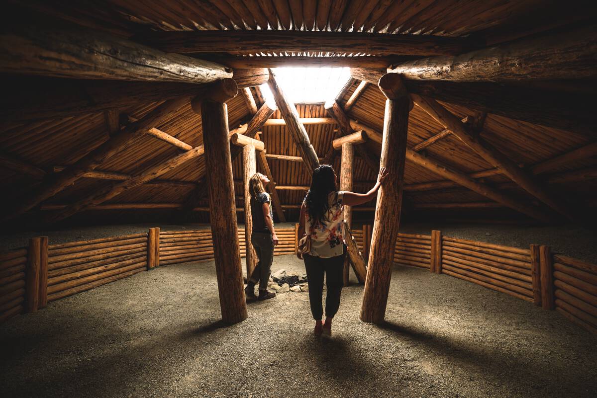
Back on Highway 3, visit the collection of wineries near Creston and stop at St. Eugene Golf Resort & Casino near Cranbrook, nestled between the Purcell Mountains and the Canadian Rockies. Owned by the Ktunaxa Nation, this former residential school site is now a luxury resort. Explore interpretive displays highlighting the devastating impacts of colonization and honouring the resilience and strength of Indigenous culture, and stay to experience an Indigenous-inspired meal at the resort’s Numa restaurant.
As you approach your final destination of Fernie in the Canadian Rockies, towering peaks, river valleys, and vast forests at every turn make for a captivating drive. Located in the province’s southeast corner, this former railway and coal mining town is now a haven for adventurists. Reach new summits at Fernie Alpine Resort, and hike or ride 100-plus trails in the spring, summer, and fall. Year-round, enjoy colourful street art, regional food and craft beer, and friendly and interesting locals. The perfect way to end your off-the-beaten-path BC adventure.
Return home having experienced some of British Columbia’s very best. You’ll not often get to explore Vancouver’s lush rainforest and ocean, steep canyons, fertile valleys, arid deserts, warm lakes and cool mountain towns, and see the snow-capped pinnacles of the Canadian Rockies in one trip.
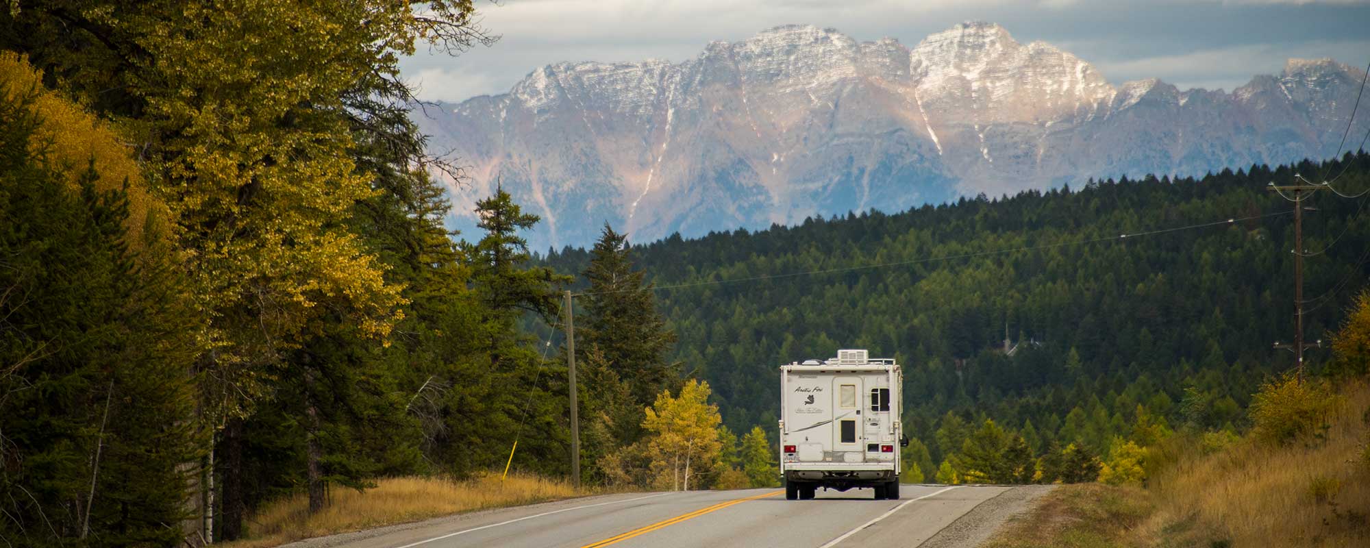
Header image: Driving the Crowsnest Highway | Kari Medig
Get the Rainforest to Rockies Guide for tips about little-known stops that locals love.
See what's happening now with these recent posts.
Check Drive BC for the latest information on road closures around the province.
Check ConditionsLearn about hiking and biking trails, provincial campgrounds, park closures, and more.
Explore